


News and Announcements


Breaking the Cycle Tackling Addiction in Native Communities
Thursday, 18 April 2024 18:48Please consider attending this webinar to learn more about the cycle of addiction. Click the link to register: https://und.zoom.us/j/97499651481 Please consider attending this webinar to...

Donate to CSKT MMIP
Flathead Reservation Water Management Board
DRAFT Meeting Agenda
Wednesday April 10th,2024,from 1-5 PM
In-person: 400 Main Street Southwest, Ronan, MT
Zoom: https://zoom.us/j/96318652629
Join by Phone: +1 (669) 444-9171| Webinar ID: 963 1865 2629

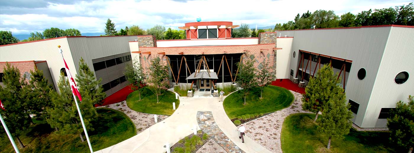
The Confederated Salish and Kootenai Tribes
Phone: 406-675-2700
Fax: 406-275-2806
Email: info@cskt.org
Mailing Address:
P.O. Box 278
Pablo, Montana 59855
Physical Address:
42487 Complex Blvd.
Pablo, Montana 59855
Property & Supply Shipping Address:
33091 Mollman Pass Trail
Ronan, Montana 59864

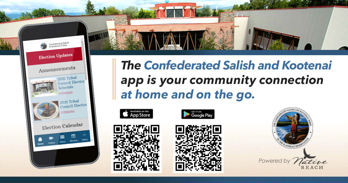
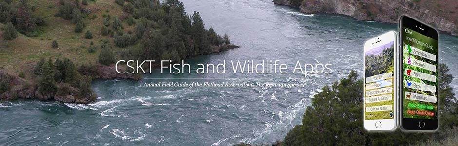
CSKT Phone App